

Reflections on Water - Chapter 7, Riverlands Dialog
Chris Nicodemus & Katrina Meserve
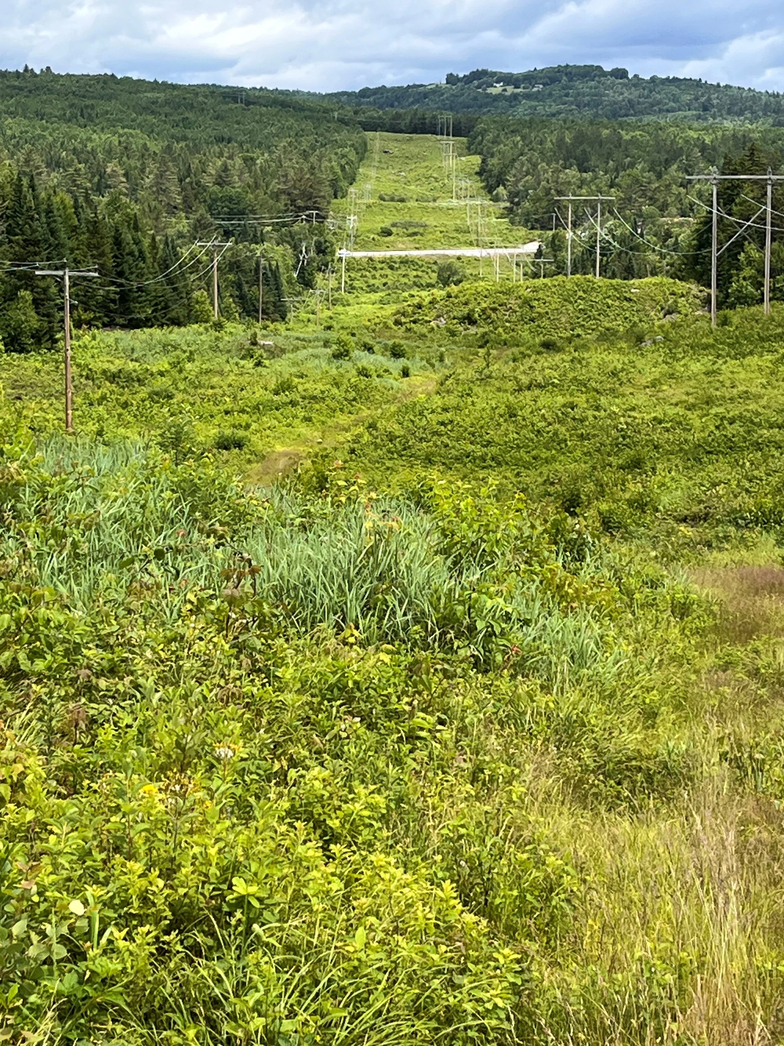
The cleared landscape in the power corridor that traverse the Riverlands clearly exhibits the South West lying moraines that were deposited successively as the Continetal glacier paused, readvanced and then retreated
What was controversial about the glacial moraines in the Riverlands?
Professor Louis Agassiz visited the White Mountains in the 1840’s having grown up on the North Side of the Swiss Alps and studied in the UK. He was a natural scientist in the academic tradition of his period with a primary focus on geology. He had experienced the retreating Alpine glaciers retreating south into the high Alpine Valleys in that period and recognized that glaciation in earlier era’s had been expansive covering Continental spaces in addition to mountain landscapes. He interpreted the topography in Bethlehem to be glacial in origin, but assumed a southern retreat analogous to the conditions in Switzerland. It has only been in the 20th century that the puzzle to explain the complex glacial deposits around the Ammonoosuc Valley have been satisfactorily explained. Sedimentation and erosive drainage of successive glacial lacks and the pause and re-expansion of the continental ice-sheet during the cold period of multiple centuries ~12,400 BP was elucidated by careful examination of glacial till and the characteristics of lake sediments by a local geologist from area institutions in work that is still ongoing to the present.
What aspects of the cultural history of the Riverlands needs to be researched?

It will be helpful if area residents with a record of the property ownership and different land uses for the property and adjoining properties can be better detailed. The glacial till and rolling terrain intermingled with lake sediments has created a diverse and fertile environment supporting healthy forest. The area was mined for sand and gravel which is present in abundance in this part of the valley, but may not have been optimal for agriculture. ACT hopes to gather a useful historical summary as part of the Stewardship Plan for the property.
What recreational uses are envisioned for the Riverlands property?
ACT will collaborate with the local community to establish recreational uses for the property. We will wish to keep some areas isolated and pristine to support their natural environments and provide optimal environments for local flora and fauna. The property is large enough to provide opportunities for both warm season and wintertime uses both as shared multiuse areas and protected more restricted areas. The goal is to provide an opportunity for residents and visitors to experience the natural environment, learn about the natural features and develop an understanding of sustainable land use in the best interest of the community.

Banner photo by EP Chow.
Photos by Chris Nicodemus