

Protecting Places
THE NORTH COUNTRY LOVES

ACT protects land for the well-being of people and wildlife.
For now, and forever.
Click here for ACT’s Conservation Locator Map to see where ACT’s conserved lands are in the region.
Or click the photos below to explore
ACT's conservation lands by town.
To learn how to conserve your own land, follow this link.
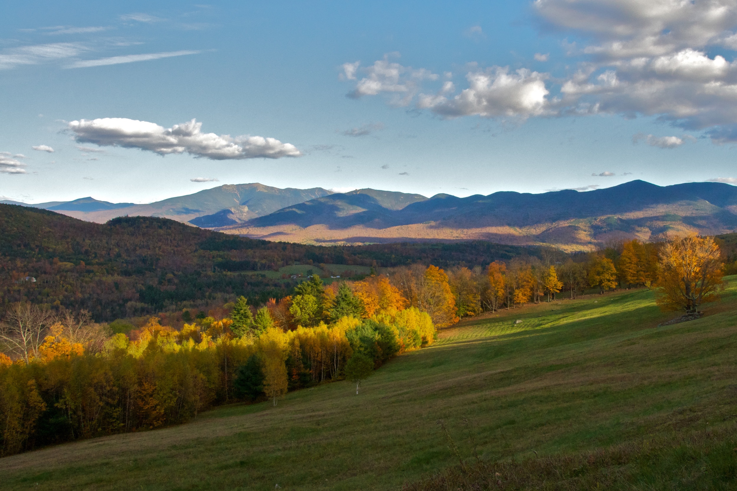


Sugar Hill, NH
Foss Forest
MacCornack-Evelyn Forest
Whipple Field
Stewart Maple Farm
Lupine Field
Sunset Hill Golf Course
Creamery Pond & Whipple Pasture
Overlook Farm
Perkins-Porter Family Preserve
Lisbon, NH
Tranquil Vewe Croft
Red Oak Farm
Pearl Lake Shorefront
Ammonoosuc River Wildlife Management Area
Littleton, NH
Ilacqua Wildlife Conservation Area
Ammonoosuc River Wildlife Management Area II

Bethlehem, NH
John L. and Jean P. Wedick Natural Area
Brebner Farm & Forest
Bethlehem Wetlands
Ammonoosuc Riverlands

Lyman, NH
Gale Family Forest
Gardner Mountain
Godfrey Memorial Conservation Area
Pettyboro Farm


Bath, NH
Walling-Wharey Conservation Area
Peters Farm
Jean Chamberlin North Conservation Area


Easton, NH
Cooley-Jericho Community Forest
Gols Forest
Haverhill, NH
Jean Chamberlin South Conservation Area
Swiftwater Farm Conservation Area