“We’ve inherited a national treasure. It’s time for our leaders to act. Let us preserve these unique landscapes for future generations.”
Tri-town story map
The seniors in the Environmental Science and Policy program at Plymouth State University created this interactive map for the public to use to review risks to the water resources in the tri-town valley of Easton, Franconia and Sugar Hill.
ACT is offering conservation options for landowners in COOS county
Development pressure in the North Country has intensified and landowners wishing to conserve undeveloped land have experienced frustration in finding options for their smaller parcels in this rural and expansive geography.
Read more about ACT’s expansion into Coos County here.
CoOLEY-JERICHO
COmmunity FOREST
The 840-acre Cooley-Jericho Community Forest (CJCF) is owned and managed by ACT. A forest for all, the purpose of the Community Forest is to provide multi-recreational trail uses, wildlife habitat, and encourage people to have fun outside and learn about nature. Download driving directions and trail map here!
The newly published CJCF Stewardship Plan is available for download here!
CLEAN WATER/HEALTHY TROUT
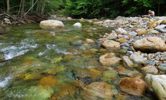
Through this initiative we work with private landowners to do voluntary stream restoration and conservation. Details are available here. Our partners are the Ammonoosuc chapter of Trout Unlimited, NH Fish & Game, and Plymouth State University.
Keep Growing
Local food. Local farms. Farming forever. ACT began this initiative to help strengthen the local economy, and provide the community with nutritious food options. Thanks to community support several historic dairy farms have been forever conserved.


